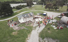
Land Information New Zealand (LINZ) is remapping the seabed between Kaikōura and Cape Campbell, following the Novemeber 2016 earthquake which triggered huge underwater mudslides.
LINZ is remapping the seabed after the November 2016 earthquake triggered huge underwater mudslides. Photo: Supplied / GNS Science
A hydrographic surveyor for LINZ, Annette Hadler, said the work involves two boats sailing around the coast using state-of-the-art multi-beam sonars to map nearly 35,000ha of the seabed.
She said LINZ regularly carries out hydrographic surveys to ensure the nautical charts are up-to-date, ensuring there aren't any hazards to those sailing in the area.
Ms Hadler said the data they gathered would also help scientists understand what sea life may live there and if it had been affected by the quake.
The work is expected to take several months.