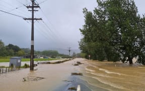
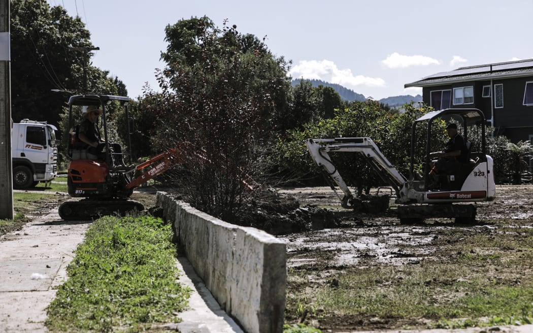
The clean-up after Cyclone Gabrielle hit Gisborne in February 2023. File photo. Photo: RNZ / Samuel Rillstone
More than 1000 Gisborne properties have been removed from the list of flood risks.
But with the categories still provisional, there are hundreds of Tai Rāwhiti residents still in limbo.
Property-specific maps have been updated on the council's website, with swathes of land removed from the at-risk list following further assessments, including sections of bare land.
Gisborne District Council sustainable futures director Joanna Noble said bare sections were included at the beginning of the process as the council took a conservative approach.
Under the still-provisional categories, known as the Future of Severely Affected Land (FOSAL) classification, 770 homes would require some kind of flood protection to make them safe to live in, be it stop banks, raised foundations or something else.
Another 51 properties remained in provisional category three, meaning the risk of future flooding is too high to allow people to live there and the only option would be to walk away, with the government buyout scheme set to reimburse homeowners.
With the categories still provisional, people could contest the rating by contacting council.
But for bare sections that were removed from the category system, Noble said the options to build a home on this land in future would still be limited through the building consent process.
"In most cases, any building consent granted would likely have specific conditions that need to be met, such as a minimum finished floor level."
A 'section 72' could also be placed on the property which would remove council responsibility on future claims on the natural hazards identified, which could impact insurance the owner's ability to get insurance, she said.
"Many areas impacted during Cyclone Gabrielle already have some form of natural hazard overlay in the Tairāwhiti Resource Management Plan (TRMP), which means that specific policies and rules apply to land use and development."
This management plan was currently under review, she said, which could result in additional controls on land use.