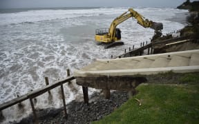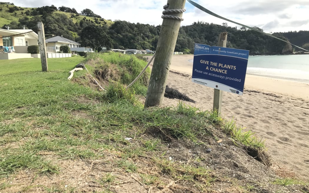
A sign warning of erosion on a Northland beach. Photo: Susan Botting / Local Democracy Reporter Northland
New research shows an estimated 182 million tonnes of eroded soil entered New Zealand's rivers in 2022.
The data from Stats NZ shows of all regions, the West Coast (with 48 million tonnes) and Gisborne (36 million tonnes) had the highest levels of sediment movement into waterways.
The North Island had a higher proportion of erodable land than the south, despite having less land overall - 60 percent of the country's highly erodable land was in the North Island, despite it making up only 43 percent of its total land area.
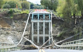
Soil erosion can impact land productivity, water quality, the natural shape of the land, and infrastructure.
Gisborne came into the spotlight following Cyclone Gabrielle, which took place the year after this data period, but the foundations for high soil erosion were already laid.
Between 1996 and 2018, Gisborne had the highest average rate of soil erosion in the country - but it had decreased from 5800 tonnes per square kilometre per year in 1996 to approximately 4400 tonnes in 2018.
The Nelson region had the lowest average rate of soil erosion, which was relatively stable over time.
Environment and agricultural statistics senior manager Stuart Jones said New Zealand experienced "high levels of soil erosion due to steep terrain, high rainfall, and earthquakes".