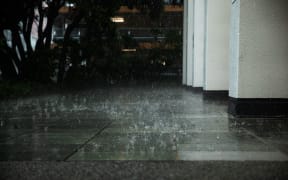
(File photo) Photo: RNZ / Tess Brunton
West Coast Emergency Management teams are ramping up ahead of a major weather system set to bring days of heavy rain and strong winds to southern parts of the country from Tuesday morning.
In its latest forecast, MetService meteorologist John Law said a low pressure system would arrive from the west on Tuesday morning, affecting Fiordland, Westland south of Hokitika and up into the ranges. The front will stall over the West Coast through Wednesday and Thursday.
️Severe Weather Update
— MetService (@MetService) April 8, 2024
Whilst the heaviest rain is set for the ranges of the Westland District it's not just the West Coast set to see some windy, wet weather.
Here's your latest Severe Weather Update. https://t.co/vz2RJlqzp0
Orange heavy rain warnings are in force for Westland, south of Hokitika, from 9am Tuesday until 6pm Thursday, and for Fiordland - about and north of George Sound - and the headwaters of Otago lakes and rivers from 9am Tuesday until Wednesday morning.
In addition, heavy rain watches are in place from 9am Tuesday until 6pm Thursday for the Grey District and the Westland District north of Hokitika, and for Fiordland south of George Sound for most of Tuesday.
The headwaters of Canterbury Lakes and rivers are also subject to a heavy rain watch from 9am Tuesday until Wednesday evening.
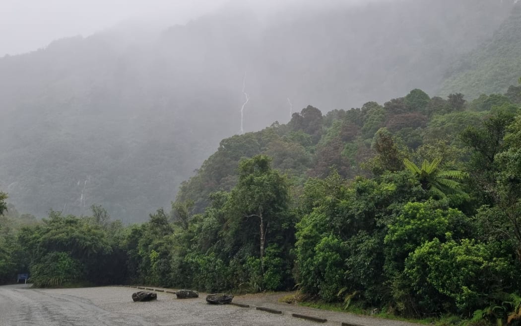
"We will continue to see that wet weather feeding in from the Tasman Sea, and it's that prolonged nature which is giving us the most concern for those areas around Westland, particularly south of Hokitika and up into the ranges, where we could find as much as 600mm-800mm of rainfall."
There will be lower volumes closer to the coast, but those areas as well as the Otago lakes and rivers could still see around 200mm-300mm of rain, Law said.
⚠Severe Weather Update⚠
— MetService (@MetService) April 6, 2024
Overnight from Monday into Tuesday, a front moves onto the southwest of the South Island from the Tasman Sea.
Two Heavy Rain Watches and one Strong Wind Watch have been issued. pic.twitter.com/3SLhPssVO4
With plenty of visitors still in the area, local civil defence teams are taking a precautionary approach as Westland prepared for the deluge.
Local coordinators were being contacted to check-in, and testing of alternate communications in some areas.
West Coast Emergency Management (WCEM) will meet with local authorities on Tuesday morning to assess the forecast and update plans.
It has not ruled out activating an Emergency Operation Centre if the situation deteriorated.
WCEM group manager Claire Brown said: "The West Coast is not unaccustomed to large rainfall, however we are wanting people to keep an eye out and to take care.
"We're also concerned about the duration of the event. This [rainfall] is over quite a number of days and also because the Westland area has been affected ... we have a number of people in the community who are quite rightly ... worried about what could happen over the next couple of days."
There was still "quite a volume" of tourists in the region, and Brown encouraged visitors and locals to check the MetService weather warnings, NZ Transport Agency journey planner and West Coast Emergency Management social media to stay across any developments.
That included reviewing emergency plans for their home or work, and ensuring anyone travelling the region's roads and highways had water, food and warm clothing with them.
NZ Transport Authority Waka Kotahi said it was monitoring the conditions closely.
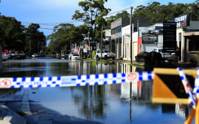
"Early forecast rainfall totals in the region are significant, and may impact parts of the state highway network, including the possibility of surface flooding and debris on road surfaces," a spokesperson said.
State highway closures were possible given the severity of the forecast but crews were ready to respond, Waka Kotahi said.
Strong wind watches
Strong wind watches are also in place from 6pm Monday until 6pm Tuesday for Fiordland and for the Canterbury High Country for 24 hours from noon on Tuesday.
The strongest winds on Wednesday would likely be about inland Otago and Canterbury, the Marlborough Sounds, Wellington and southern Wairarapa, the forecaster said.