By Jonathan Killick of 
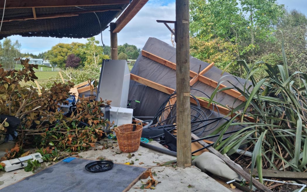
Tornado damage on Westdale Road, Tasman. The roof of a large shed has been blown off. Photo: RNZ / Samantha Gee
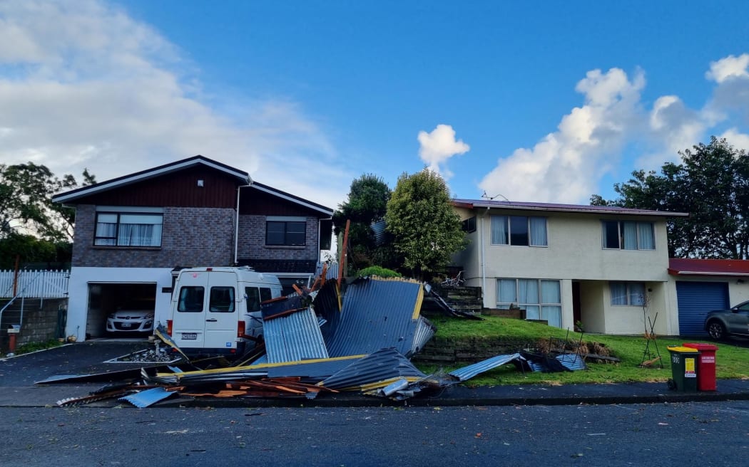
Analysis - Four tornadoes have ripped through parts of New Zealand over the past three days. So what's going on and should we expect more of the same in the coming days?
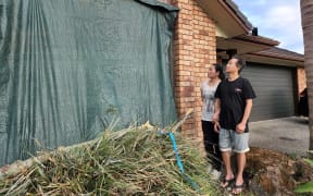
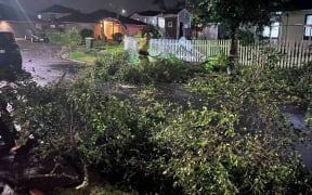
Since Sunday, tornadoes have hit East Auckland, Tasman, Taranaki and the Kāpiti Coast, smashing windows, pulling off roofs and downing trees. One person has been confirmed injured.
The culprit? It's partly Aotearoa's hilly and mountainous terrain, according to Dr Kevin Trenberth.
He's an honorary physics academic at the University of Auckland, a lead author for the Intergovernmental Panel on Climate Change (IPCC) and a "distinguished scholar" for the American National Centre for Atmospheric Research. In short, he studies storms.
Trenberth said storms are powerful wind generators on their own, but it's not until nature throws in some rotation that it turns into a tornado.
One source of rotation that New Zealand has in abundance are hills and mountains. When a strong air current meets an elevated landmass, it curves around both sides and when it converges on the other side, things can get spinny.
"It doesn't take a whole lot of topography. There are lots of peaks in the North Island, from Mt Taranaki to the central high country and hills in Auckland, which could cause rotation."
Meanwhile, weather systems 5km above the earth's surface suck up air causing an upwards draft, he said. This can give shape to the iconic tornado spout form.
He said even a small tornado could harness winds of around 150km/h.
Dr Trenberth said the reason that storms were the main driver of tornadoes was because they "reach out and grab all the air around them".
"A typical storm might be 300 metres in radius, but it sucks the air from 1.5km away.
"That's why you often feel gusty wind right before it rains."
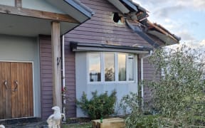
Damage on Aorangi Road, Paraparaumu, from a tornado that swept through on Tuesday 11 April. Photo: RNZ / Kirsty Frame
As for why there are so many tornadoes right now? Record high sea temperatures, causing evaporation.
Trenberth said March is tornado season because it's when sea temperatures are already usually at their highest and La Niña weather patterns and global warming had sent them soaring higher.
The extra moisture and heat means more energy is available to fuel storms.
MetService has said the weather conditions mean there is the possibility of further tornadoes over this coming week.
So how do you know a tornado is forming? Other than wind, the only sign is a sudden increase in humidity making the air feel "damper or more clammy", Trenberth said.
This cloudy moist air is both a friend and foe to Kiwis, according to Trenberth, because it both tempers and tempts the tempest.
But there's good news too. The ocean surrounding Aotearoa generates so many small storms that they literally "compete" with each other for air, restricting how large an individual can grow.
Why so stormy?
— NIWA Weather (@NiwaWeather) April 10, 2023
Lobes of vorticity (), or spin, have frequently pivoted around an upper atmosphere disturbance that's "stuck in the mud" over the Tasman Sea.
This has caused moist, humid & rising air, conducive to thunderstorms ⚡️
It will continue over the next week! pic.twitter.com/MbgQBKLajQ
That's compared to the United States, where singular storms can form into massive hurricanes and tornadoes.
Trenberth's advice for New Zealanders who find themselves in the unusual situation of facing a tornado is to hide behind a sturdy couch.
Even better, you can get into a bathtub and cover it over with whatever is available.
"Even if you get picked up and thrown around, you might have a better chance of surviving. Most of the concern comes from flying debris."
* This story was originally published by Stuff.