Where does the bed of a river end and adjacent farmland begin? That is not an easy question to answer, when dealing with braided rivers that often change course.
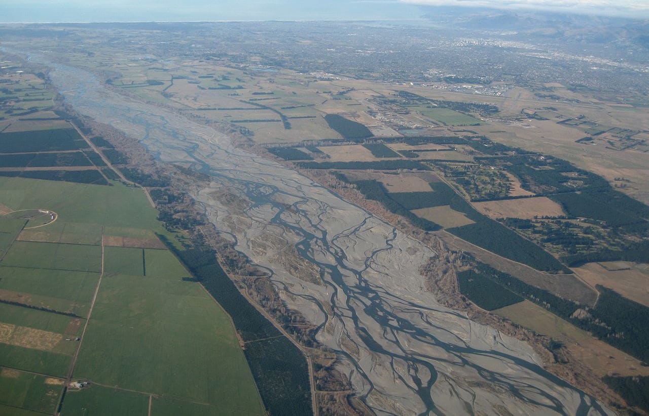
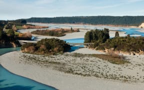
The Waimakariri River Photo: Wikimedia Commons
However, the Court of Appeal will now get the chance to decide the official location of a riverbank.
The problem began in 2017 when a farmer was prosecuted for doing earthworks in the bed of the Selwyn River, in mid Canterbury.
Although he pleaded guilty, the case gave rise to debate about how wide a braided river actually was.
The District Court sided with Environment Canterbury and ruled a river was as big as the area covered by the river's waters at their fullest flow.
But this was turned down in an appeal to the High Court.
It ruled that a river was as wide as the area between what was called its "reasonably observable banks".
In a statement, Environment Canterbury said was important to take this to the Court of Appeal, to seek clarity for all.
"The decision to appeal to the Court of Appeal is a carefully considered one given the value the community places on the cultural, recreational, wildlife and landscape values of braided rivers," the council said.
"The decision to appeal is not about undertaking a 'land grab' (from farmers) nor is it about reducing property ownership or pursuing a single defendant through the courts.
"While existing policy and rules are in place, the struggle is to ... determine where rivers can remain in their natural state."
But farmers said the size of rivers as defined by the council would rob many landowners of their property, because previously farmed land would be deemed out of bounds.
Resource consent would be needed to farm in these places, even though farming had been taking place there for years.
Jamie McFadden of the Rural Advocacy Network said many farmers were helping pay the legal costs of fighting the case, because many of them could themselves be impacted.
"The danger they saw was that they end up with huge areas of their land taken from them.
"This is freehold land, it is not gravel or riverbed, it is pasture that has been grazed for decades," Mr McFadden said.
But the use of this could be lost.
The rules for the use of river bed were very strict, he said, and that was good, because rivers needed protection, but defining farmland as riverbed was the wrong way to go about it.
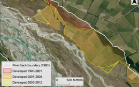
Environment Canterbury said between 1990 and 2012, nearly 12,000 hectares of formerly undeveloped or forested land on the margins of rivers had been converted to intensive agricultural use.
Mr McFadden agreed that some farmers had taken riverside land, but they had also lost land to encroaching rivers.