
MetService is warning that freezing gale force winds over the next few days could be hazardous to stock.
It's going to be windy in many places tomorrow, making it feel even colder https://t.co/Yjbq0jxdqz ^PL pic.twitter.com/k5kiZLbe0i
— MetService (@MetService) September 24, 2018
Meteorologist Georgina Griffiths says the cold air is just starting to hit the lower South Island now, with snow and heavy rain expected.
Ms Griffiths said the worst weather would arrive late tomorrow, with the cold wind causing the biggest problems.
"Really, it's the end of Tuesday and into early Wednesday that we'll see progressively colder air come up and over New Zealand, and we're expecting that snow level to really lower over the lower south.
"From a stock point of view and a driving point of view, pretty hazardous from tonight and especially Tuesday night going into Wednesday, in the far south of the country."
Ms Griffiths said that the air temperature may be at four or five degrees in Invercargill, but the wind chill will bring it down to near zero.
She said the North Island will also feel the effects, with a snow warning for the Desert Road on Tuesday and strong winds expected in Auckland.
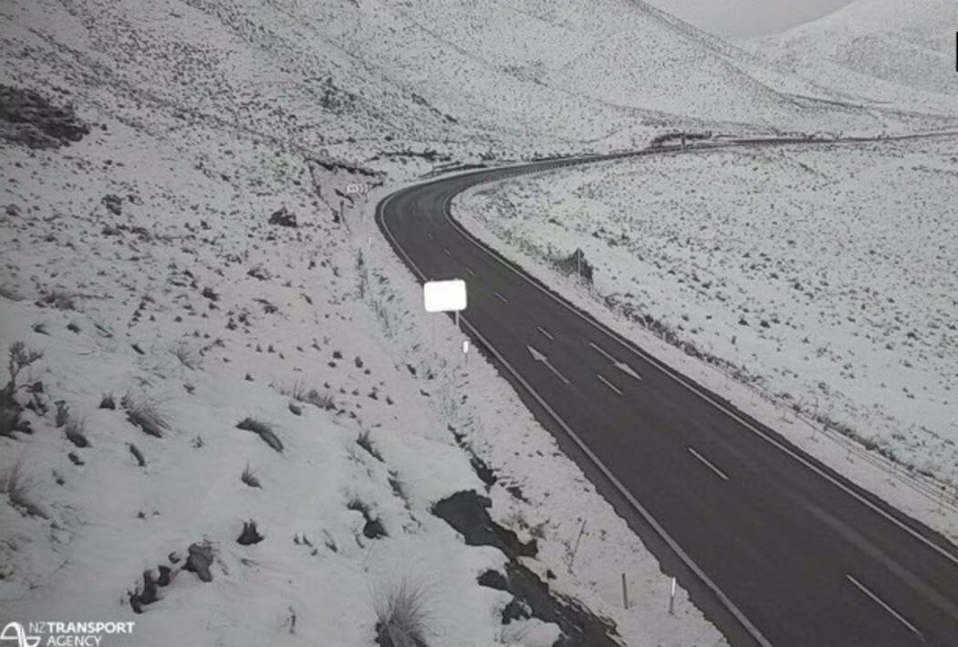
Snow closed the Lindis Pass last week, and more is expected over the next few days. Photo: Supplied/NZTA

