
Snow showers and strong winds have kept the lower South Island in the grip of winter overnight.
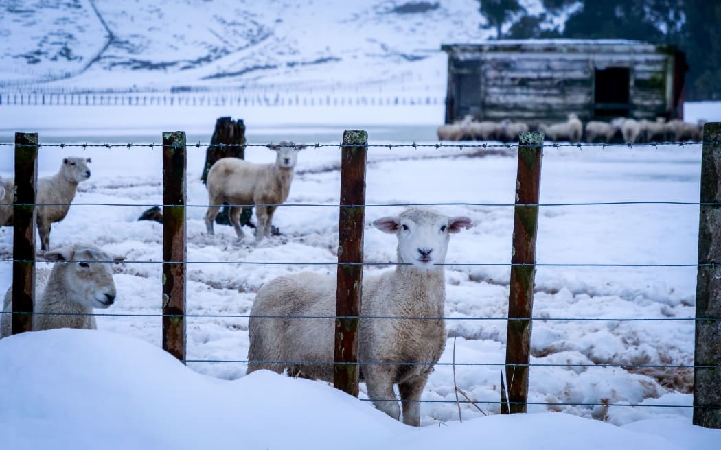
Photo: RNZ / Alexander Robertson
Temperatures fell to 3°C in Gore and 4°C in Timaru, Invercargill, Queenstown and Dunedin.
Snow fell to 300m in some parts of Otago and Southland, and winds were gusting up to 80km/h.
Bernadette Hunt who farms livestock near Gore said it was bitterly cold at 5am when she went outside to feed calves and orphan lambs.
Temperatures were about 1°C or 2°C, but there was significant wind chill.
"It's no fun for animals or farmers - but it's par for the course for spring," she told Morning Report.
"We'd hoped to not get this weather at all, but ... it's nowhere near as bad as we've had previous times. We've had breaks in the weather. There was even times yesterday where the sunshine was breaking through."
Farmers are prepared for the volatile spring weather and keep sheltered paddocks ready for stock.
Drivers are warned of snow and ice on SH87 Kyeburn to Mosgiel and snow on SH94, the Te Anau to Milford Sound in Southland.
Wind warnings are in place for SH1 Dunedin to Gore, SH8 Raes Junction to Milton and SH90 Gore to Raes Junction.
A spokesperson for NZTA in Otago, Nick Rodger, said though there were wind warnings, especially for high-sided vehicles, conditions were expected to get better during the morning.
The strong wind was preventing ice forming on the roads, he said.
"The worst of the front has come through so we're now just getting the tail end of the weather event.
"So once that's gone through we should hopefully get back to the beautiful weather we were getting last week".
In the lower North Island, a warning of strong wind gusts on the Remutaka Hill road between Wellington and the Wairarapa has been lifted.

