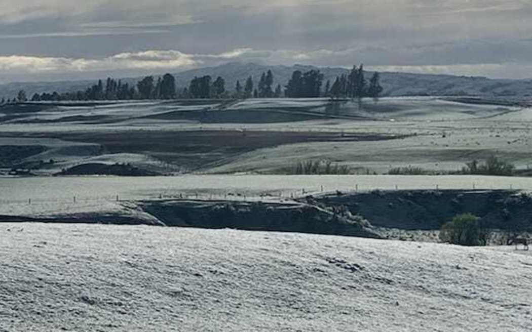
Farmland covered in snow at Matakanui Station, Omakau, Central Otago. Photo: Supplied / Andrew Paterson
A second cold front is forecast to bring fresh snow to sea level in Dunedin and Christchurch tonight, with up to 20cm expected to fall on higher parts of Banks Peninsula.
The late season polar blast has left Canterbury farmers worried about the wind chill threat to Spring lambs and Central Otago orchardists bracing for potentially damaging frosts.
MetService has issued heavy snow warnings for Banks Peninsula and Southland, along with a heavy snow watch for large parts of Otago, the Canterbury high country and Marlborough south of the Clarence River.
MetService meteorologist Angus Hines said the front would bring icy cold temperatures, with a dusting of snow on city streets and more in the hills.
"There's a really good chance that snow will fall to sea level in Dunedin," he said.
"We couldn't rule out 10cm to 20cm in some of the higher parts around the hills. We're unlikely to get that much right in the city, but could well see a couple of centimetres sitting on the ground."
Snow to SEAL level https://t.co/2eVkLbPCuJ
— MetService (@MetService) October 5, 2022
Hinds said the front was also likely to bring snow to the sea in Christchurch.
"I think the risk is really there for snow right down to sea level, right down to the beaches in Christchurch," he said.
"We could see 10cm to 20cm in the higher parts of Banks Peninsula. We're unlikely to see that much in Christchurch city, but a couple of quick flurries certainly could leave a dusting down there on the streets."
Hines said forecasters could not discount the possibility of brief snow showers in Wellington overnight too.
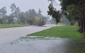
MetService warned snow could disrupt travel and damage trees and powerlines, while cold conditions could stress livestock.
Freezing southerlies, rain and snow would make the air temperature feel like -7C in Christchurch and Wellington early on Thursday morning, MetService said.
Christchurch City Council civil defence and emergency manager Brenden Winder said staff were closely monitoring the weather forecast and were ready to work with key partners if necessary.
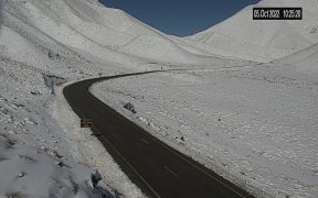
There are also road snowfall warnings for many parts of the South Island.

Snow falling at the Methven camping ground on 5 October 2022. Photo: Supplied / Ali Jones
Mt Somers Station farmer David Acland said about 2.5cm of snow had settled at the property near Methven this morning, where he runs 8500 ewes, 2000 hoggets and more than 1000 dairy and beef cows.
The farm team had been checking on lambing ewes, who could still graze through the snow, and giving silage to dairy cows, Acland said.
While Spring snow was not unusual, he said he was more concerned about the wind chill and rain.
"If that wind really kicks in, that's what gives animals a real tickle-up. You just have to think about the wind chill side of things and make sure animals are in shelter," he said.
Central Otago orchardists were also monitoring the cold snap, with the worst of the weather forecast on Wednesday night.
45 South chief executive Tim Jones said he was concerned about frost damaging 200 hectares of cherries in bloom.
"It would be what we call a cold air mass frost rather than a radiation frost, so quite difficult to protect against using wind machines which the bulk of the orchards in Central Otago, particularly cherries, are now using," he said.
Jones said orchardists with overhead water systems would be preparing to turn them on overnight to protect the crops.
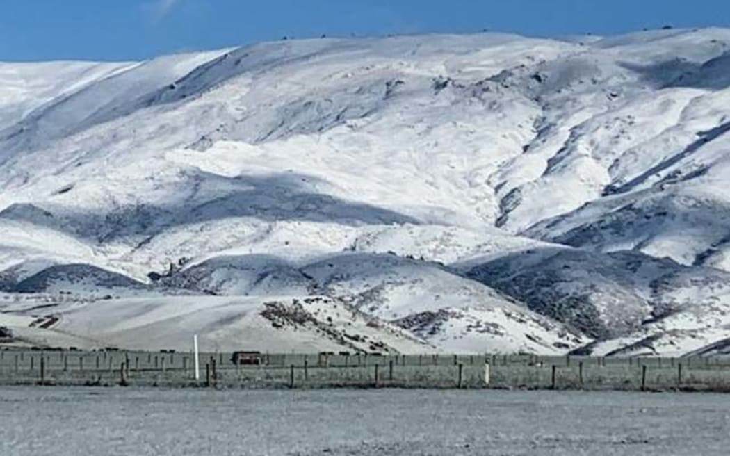
Snow covered hills at Matakanui Station, Omakau, Central Otago. Photo: Supplied / Andrew Paterson
He hoped the weather would remain unsettled so the temperature did not drop to a forecast -5C.
"Minus-five without overhead water would be pretty challenging, I think there would be substantial damage among some crops," he said.
"It will actually kill either the small fruit or damage the flower to the point that it won't be able to be pollinated."
Timaru District Geraldine ward councillor Gavin Oliver said children on school holidays had spent Wednesday morning making snowmen in the town.
"They look like they're having good old-fashioned fun," he said.
"It's looking very picturesque with the pink blossoms and the snow on the ground.
South Island ski fields were benefiting from the late dump of snow, with 15 centimetres falling at Mt Hutt and more forecast.
Mt Hutt ski area manager James McKenzie said the snowfall was perfectly timed before the season came to an end on Labour Day.
"It's a reasonable amount of snow, it doesn't create too many problems for us because it's not so much that we have a big dig-out," he said.
"This sort of event is pretty ideal for us."
Invercargill's maximum temperature of 6.1C today was provisionally its third-lowest October maximum temperature since records began in 1905, according to NIWA.